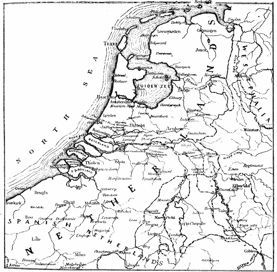
Description: A sketch map of the Low Countries in the Seventeenth Century, showing the Netherlands and Spanish Netherlands, important cities, towns, and ports, rivers, and coastal features of the area.
Place Names: Netherlands, Ghent, �Dunkirk, �Brussels, �Utrecht, �Leyden, �Haarlem, �Amsterdam, �Arnhem, �Elberfel
ISO Topic Categories: inlandWaters,
location,
oceans
Keywords: Netherlands, physical, �political, physical features, inlandWaters,
location,
oceans, Unknown, 17th Century
Source: Mrs. Arthur Bell, Elementary History of Art (New York, New York: Charles Scribner's Sons, 1895) 163
Map Credit: Courtesy the private collection of Roy Winkelman |
|