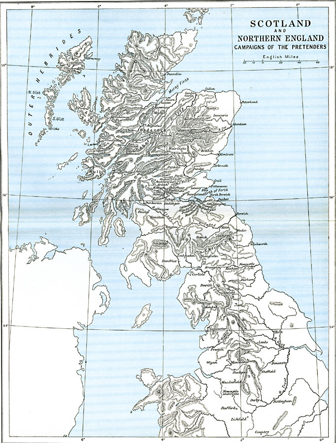
Description: Map of Scotland and Northern England during the Jacobite Risings between 1688 and 1746, subtitled, "Campaigns of the Pretenders." The map shows important cities of the uprising to return the House of Stuart to the thrones of England and Scotland, including Dunkeld, and the battle sites of Killiecrankie and Sheriffmuir.
Place Names: United Kingdom, Badenoch, �Derby, �Dumfries, �England, �Leeds, �Lochaber, �Mull, �Scotland, �Sheffiel
ISO Topic Categories: oceans,
location,
inlandWaters,
boundaries
Keywords: Scotland and Northern England, political, local jurisdictions,
country borders, oceans,
location,
inlandWaters,
boundaries, Unknown, 1688–1746
Source: Ward, Prothero, and Leathes, The Cambridge Modern History Atlas (New York, NY: The Macmillan Company, 1912)
Map Credit: Courtesy the private collection of Roy Winkelman |
|