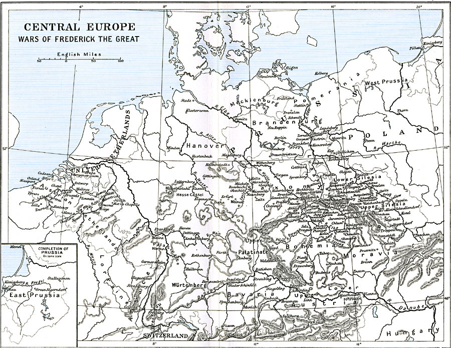
Description: A map of Central Europe between 1740 and 1784 during the time of Prussia's Frederick II, also known as "Frederick the Great." This map shows Prussia, the German states, the United Netherlands, the Austrian Netherlands, Poland, and portions of Switzerland and Austria–Hungary. Major cities, rivers, and mountain systems are shown. The inset map shows the "Completion of Prussia" after the first partition of Poland in 1772.
Place Names: Central Europe, Austria, �Bavaria, �Bohemia, �Hanover, �Hungary, �Moravia, �Netherlands, �Poland, �Prussia, �Saxony, �Switzerland, Silesia
ISO Topic Categories: oceans,
location,
inlandWaters,
boundaries
Keywords: Central Europe and the Wars of Frederick the Great , political, kPartitionOfPoland, local jurisdictions,
country borders, oceans,
location,
inlandWaters,
boundaries, Unknown, 1740–1784
Source: Ward, Prothero, and Leathes, The Cambridge Modern History Atlas (New York, NY: The Macmillan Company, 1912)
Map Credit: Courtesy the private collection of Roy Winkelman |
|