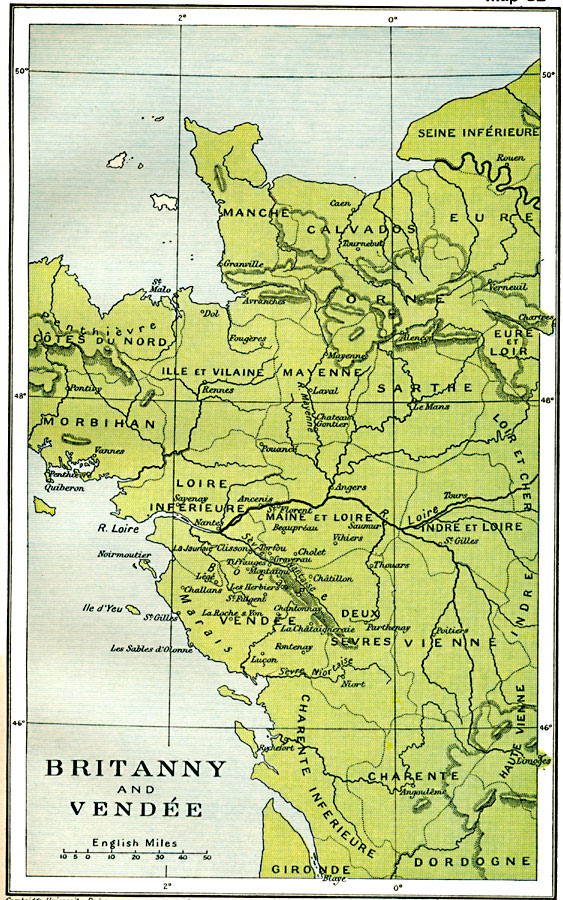
Description: A Map of Brittany and Vendée along the west coast of France in 1912, showing the major cities, rivers, coastline and terrain of the region. This map shows the administrative departments at the time, including Manche, Calvados, Orne, Côtes du Nord, Ille et Vilaine, Mayenne, Sarthe, Morbihan, Loire Inferieure, Maine et Loire, Indre et Loire, Vendée, Duex, Sevres Vienne, Charente Inferieure, and Charente.
Place Names: France, Brittany, �France, �Loire, �Vendee,
ISO Topic Categories: oceans,
location,
inlandWaters
Keywords: Brittany and Vendee, political, country borders,
major political subdivisions,
local jurisdictions, oceans,
location,
inlandWaters, Unknown, 1912
Source: Ward, Prothero, and Leathes, The Cambridge Modern History Atlas (New York, NY: The Macmillan Company, 1912)
Map Credit: Courtesy the private collection of Roy Winkelman |
|