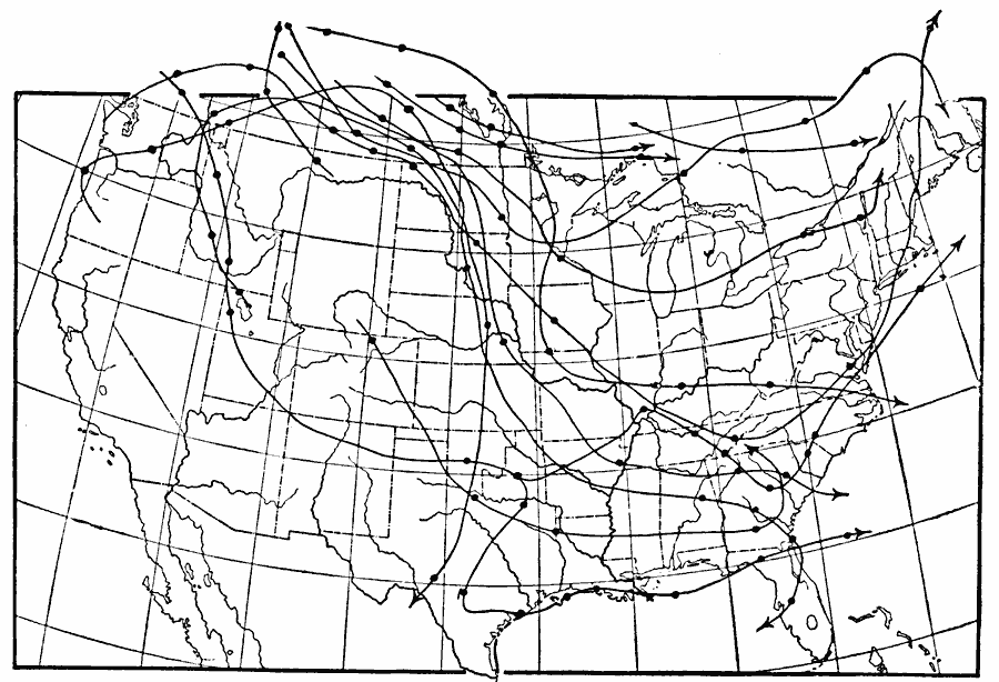
Description: A U.S. Weather Bureau map of the United States showing the paths pursued by the centers of anticyclonic storm events in January, 1893.
Place Names: Meteorology, winds, �anti-cyclonic area
ISO Topic Categories: climatologyMeteorologyAtmosphere,
inlandWaters,
oceans
Keywords: Paths of Anticyclonic Areas, physical, �meteorological, kClimate, physical features, climatologyMeteorologyAtmosphere,
inlandWaters,
oceans, Unknown, January 1893
Source: Frank Waldo, Elementary Meteorology (New York, NY: American Book Company, 1896) 314
Map Credit: Courtesy the private collection of Roy Winkelman |
|