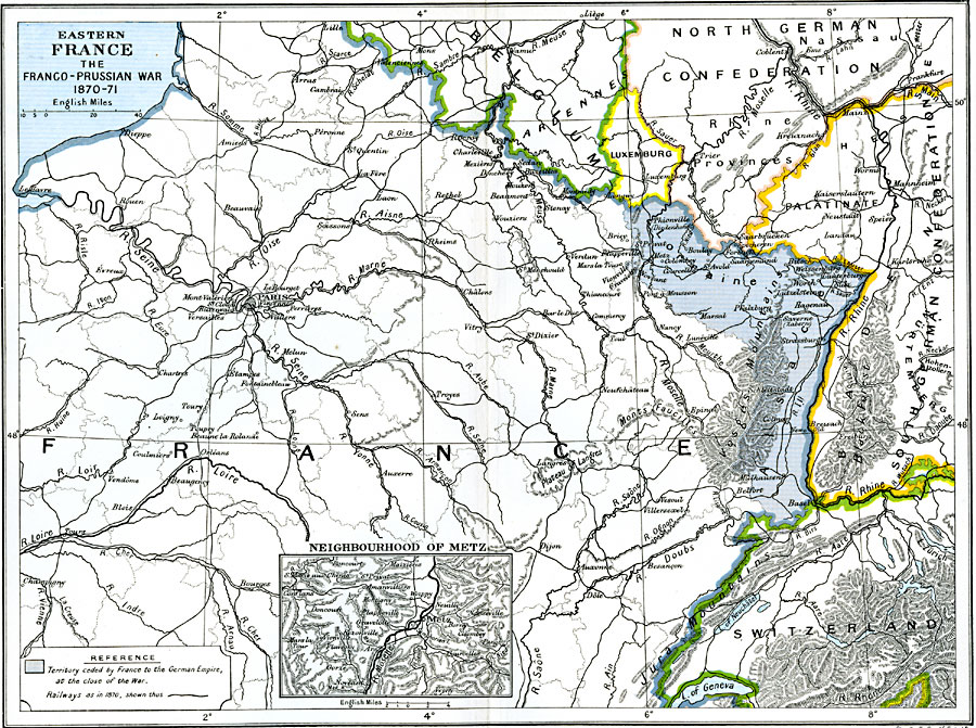
Description: A map of Eastern France, subtitled "The Franco–Prussian War 1870–71." The map is color–coded to show territory ceded by France to the German Empire by the Treaty of Frankfurt, including the provinces of Alsace and Lorraine. This map shows major cities, rivers, and terrain, and the railways in 1870. An inset map details the area around Metz on the River Moselle.
Place Names: France, Bordeaux, �Dunkerque, �Grenoble, �Lyon, �Nancy, �Nice, �Orleans, �Paris, �Starsbourg, �Tour
ISO Topic Categories: oceans,
location,
inlandWaters,
boundaries
Keywords: Eastern France, political, �historical, �transportation, country borders,
local jurisdictions,
major political subdivisions, railroads, other military, oceans,
location,
inlandWaters,
boundaries, Unknown, 1870–1871
Source: Ward, Prothero, and Leathes, The Cambridge Modern History Atlas (New York, NY: The Macmillan Company, 1912)
Map Credit: Courtesy the private collection of Roy Winkelman |
|