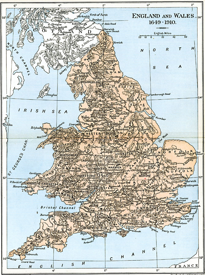
Description: A map of England and Wales from the time of the beheading of King Charles I (1649) to 1910. This map shows counties, major cities and towns, rivers, and terrain.
Place Names: United Kingdom, Bristol, �Dundee, �Edinborough, �Falmouth, �Glasgow, �London, �Londonderry, �Manchester, �Newcastle, �Plymout
ISO Topic Categories: oceans,
location,
inlandWaters,
boundaries
Keywords: England and Wales, political, country borders,
local jurisdictions,
major political subdivisions, oceans,
location,
inlandWaters,
boundaries, Unknown, 1649–1910
Source: Ward, Prothero, and Leathes, The Cambridge Modern History Atlas (New York, NY: The Macmillan Company, 1912)
Map Credit: Courtesy the private collection of Roy Winkelman |
|