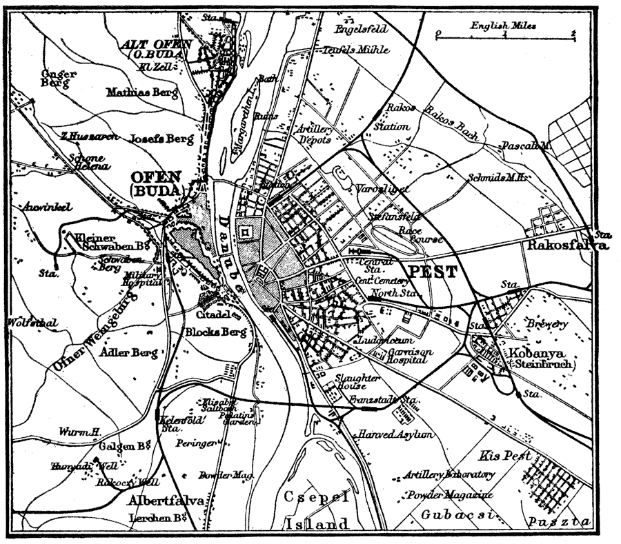
Description: A map of Budapest, Hungary and vicinity, showing streets, railroads, and water routes. This map shows the two cities, Ofen (Buda) and Pest, separated by the Danube River, and now known as Budapest. The map also shows the neighboring cities of Kobanya (Steinbruch), Alt Ofen (Old Buda), Rakosfalva, and Albertfalva, Csepel Island, railway stations, hospitals, cemeteries, military installations, and churches.
Place Names: Hungary, Budapest, �Danube, �Csepel Island,
ISO Topic Categories: inlandWaters,
transportation,
structure
Keywords: Budapest, Hungary, physical, �transportation, physical features, water routes,
railroads, inlandWaters,
transportation,
structure, Unknown, 1914
Source: , The New Encyclopedic Atlas and Gazetteer of the World (New York, New York: P. F. Collier and Son, 1914) 156
Map Credit: Courtesy the private collection of Roy Winkelman |
|