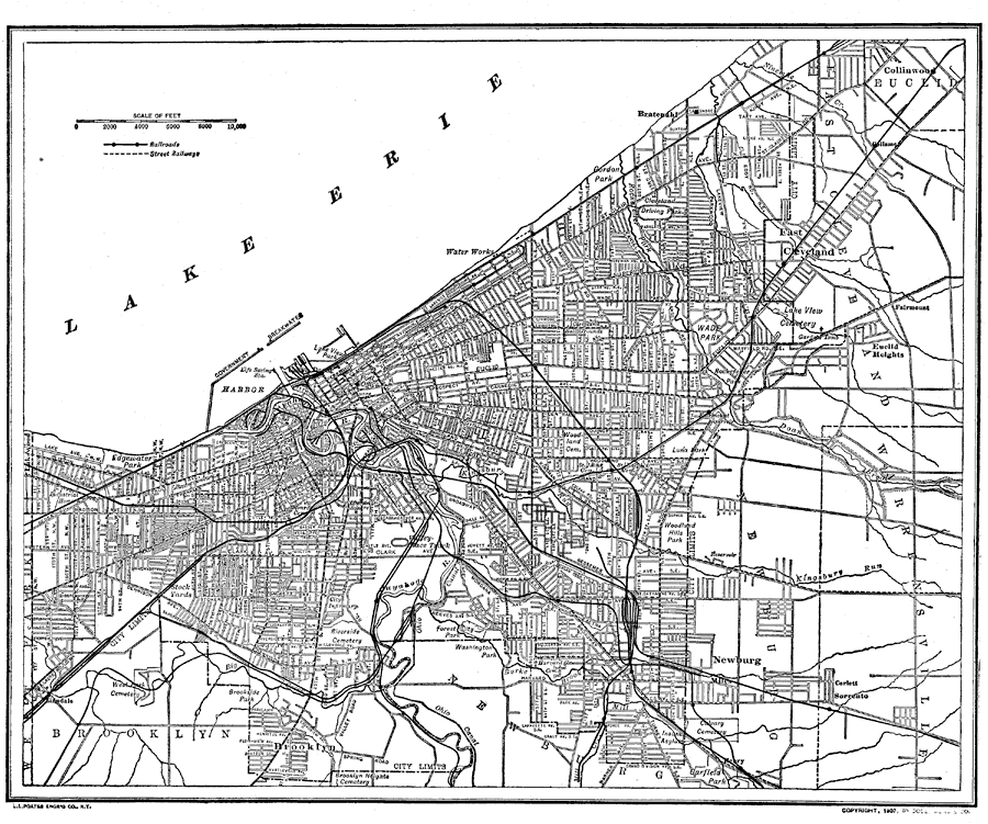
Description: A map of Cleveland, Ohio showing principal streets, railroads, canals, and major landmarks.
Place Names: Ohio, Cleveland, �Lake Erie, �Brooklyn, �Newburg,
ISO Topic Categories: inlandWaters,
transportation
Keywords: Cleveland, Ohio Road Map, physical, �transportation, physical features, roads,
railroads,
water routes, inlandWaters,
transportation, Unknown, 1914
Source: , The New Encyclopedic Atlas and Gazetteer of the World (New York, NY: P. F. Collier and Son, 1914) 166
Map Credit: Courtesy the private collection of Roy Winkelman |
|