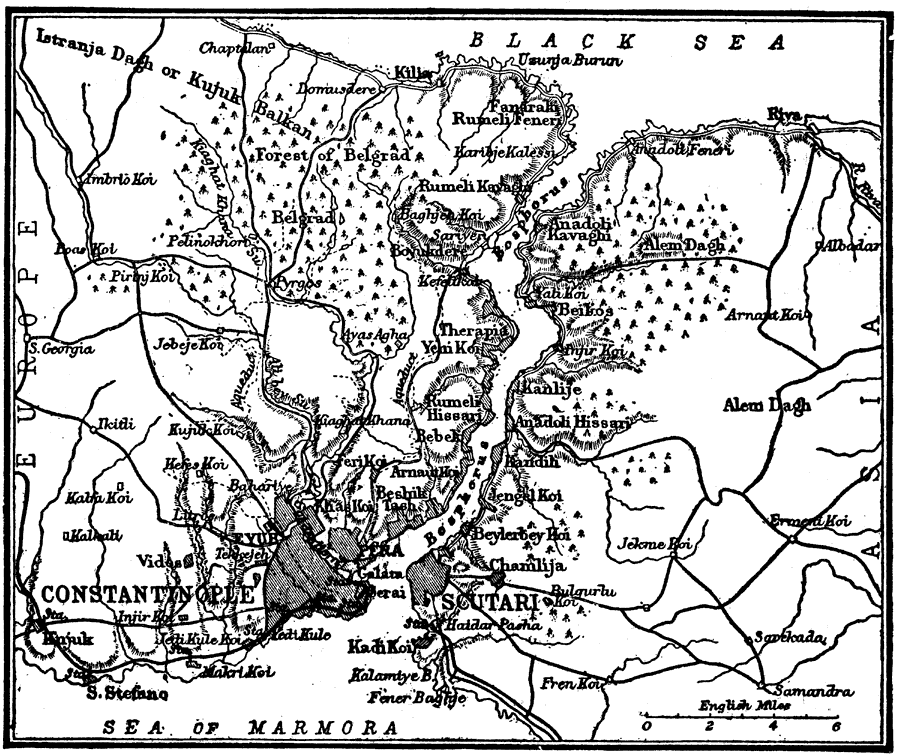
Description: A map from 1914 of the area around Constantinople, Turkey, showing the Sea of Marmora, the Bosphorus (Bosporus), and Black Sea, forested areas including the Forest of Belgrad, terrain features, roads and railways, the cities of Constantinople and Scutari (Üsküdar), and neighboring cities and towns.
Place Names: Turkey, Constantinople, �Sea of Marmora, �Black Sea,
ISO Topic Categories: inlandWaters,
location,
environment
Keywords: Constantinople, Turkey, physical, physical features, inlandWaters,
location,
environment, Unknown, 1914
Source: , The New Encyclopedic Atlas and Gazetteer of the World (New York, NY: P. F. Collier and Son, 1914) 168
Map Credit: Courtesy the private collection of Roy Winkelman |
|