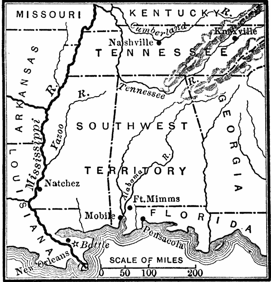
Description: A map of the area south of the Cumberland River to the Gulf of Mexico showing major sites and southwestern operations of the War of 1812, including Nashville (Jackson appointed commander of the Tennessee militia), Fort Mimms (Creek Wars), and New Orleans, site of the final battle of the war.
Place Names: Growth of Nation, Mobile, �Nashville, �Knoxville, �New Orleans, �War of 181
ISO Topic Categories: boundaries,
oceans,
location,
inlandWaters
Keywords: The Southwestern Operations, physical, �political, �historical, �War of 1812, physical features, major political subdivisions, other military, boundaries,
oceans,
location,
inlandWaters, Unknown, 1813–1815
Source: Charles Kendall Adams, A History of the United States (Boston, MA: Allyn and Bacon, 1909) 239
Map Credit: Courtesy the private collection of Roy Winkelman |
|