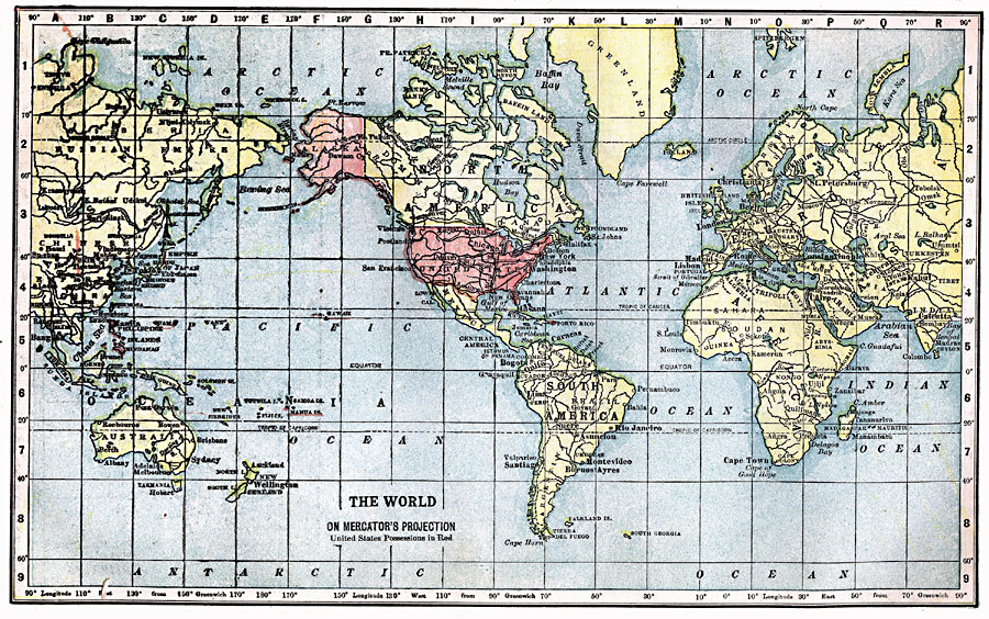
Description: A Mercator's Projection map of the world from 1903, showing the United States and its possessions in red.
Place Names: A Complete Map of Globes and Multi-continent, South America, �North America, �Europe, �Asia, �Africa, �Australi
ISO Topic Categories: location,
oceans,
inlandWaters,
boundaries
Keywords: The World on Mercator's Projection, physical, �political, kMapProjection, physical features, country borders, location,
oceans,
inlandWaters,
boundaries, Mercator,
Unknown, 1903
Source: W. R. Hearst, The American Almanac, Yearbook Cycopedia and Atlas 2nd ed (Chicago, IL: Hearst's Chicago American, 1903) 240
Map Credit: Courtesy the private collection of Roy Winkelman |
|