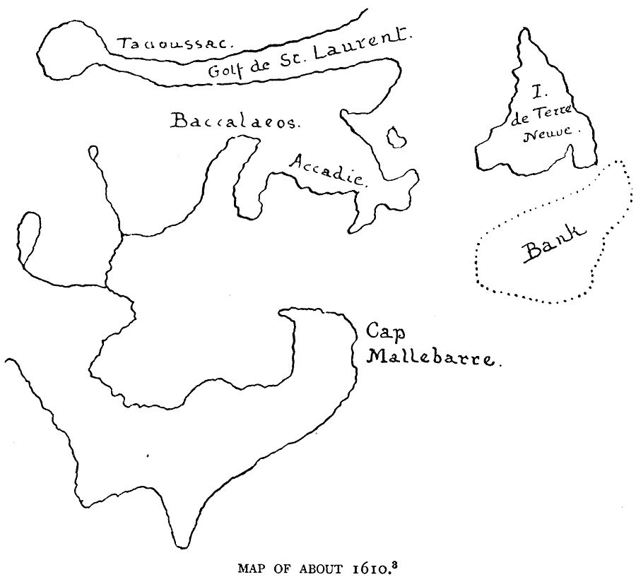
Description: A facsimile of an early map (circa 1610)of the Gulf of St. Lawrence to Cape Cod. The map shows the French trading post of Tadoussac, the Golf de St. Laurent (Gulf of St. Lawrence), I. de Terre Neuve (Newfoundland), Baccalaeos (Gaspé Peninsula), Accadie (Nova Scotia), and Cap Mallebarre (Cape Cod).
Place Names: Canada, Port Roya
ISO Topic Categories: oceans,
location,
inlandWaters
Keywords: Gulf of St. Lawrence and Acadia, borders, �physical, kEarlyMapsFacsimile, oceans,
location,
inlandWaters, Unknown, 1610
Source: Justin Winsor, Narrative and Critical History of America (vol. 4) (Boston, MA: Houghton, Mifflin, and Company, 1884) 143
Map Credit: Courtesy the private collection of Roy Winkelman |
|