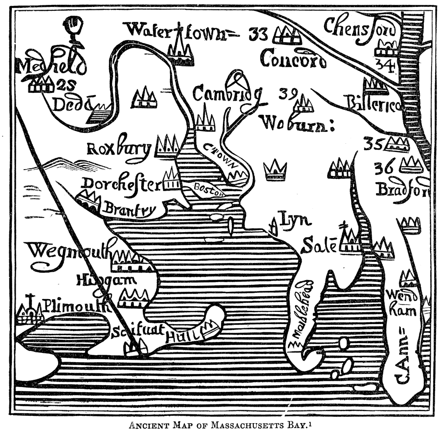
Description: "This is a fac–simile of a map of Boston Harbor and adjacent settlements in 1667, and is believed to be a specimen of the first engraving executed in America. Instead of the top of the map being north, according to the present method of drawing maps, the right hand of this is north." — Lossing, 1851, p. 446.
Place Names: Massachusetts, Massachusetts Bay, �Watertown, �Plimouth, �Concord,
ISO Topic Categories: location,
inlandWaters
Keywords: Massachusetts Bay, physical, kEarlyMapsFacsimile, physical features, location,
inlandWaters, Unknown, 1667
Source: Benson J. Lossing, Pictorial Field-Book of the Revolution Vol. I (New York, NY: Harper and Brothers, 1851) 446
Map Credit: Courtesy the private collection of Roy Winkelman |
|