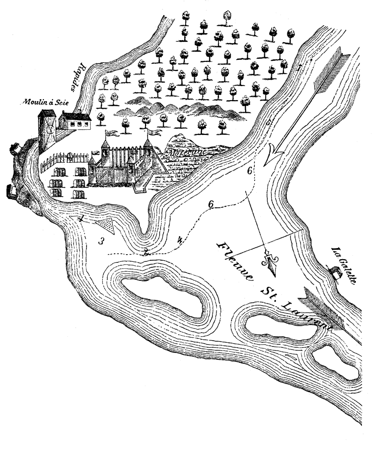
Description: Settlement along St. Lawrence River.
Place Names: Canada, Quebec, �St, Lawrence River,
ISO Topic Categories: inlandWaters,
location
Keywords: Quebec, physical, physical features, inlandWaters,
location, Unknown, 1700s
Source: Justin Winsor, Narrative and Critical History of America Volume V (Boston, MA: Houghton, Mifflin and Company, 1887) 3
Map Credit: Courtesy the private collection of Roy Winkelman |
|