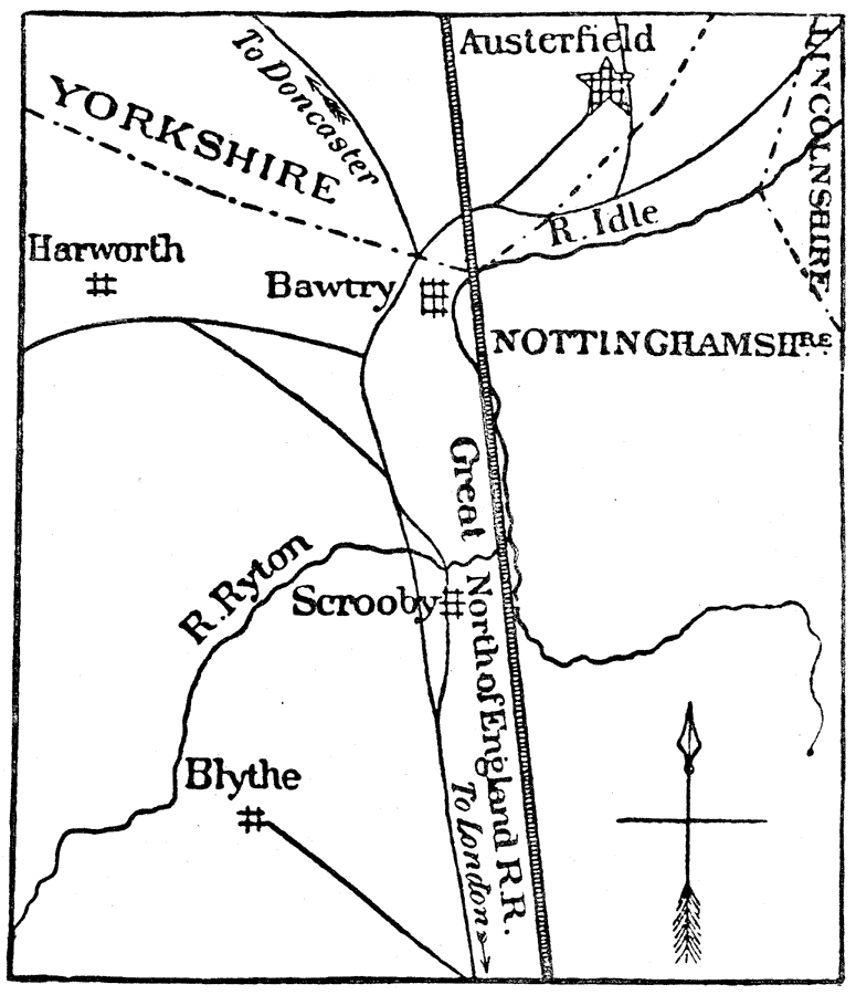
Description: Scrooby and Austerfield vicinity of England.
Place Names: United Kingdom, Nottinghamshire, �Yorkshire, �Scrooby, �Austerfield, �Lincolnshire, �Bawtry, �Blythe, �Harworth,
ISO Topic Categories: inlandWaters,
location,
transportation
Keywords: Scrooby and Austerfield, physical, �transportation, physical features, railroads, inlandWaters,
location,
transportation, Unknown, 1600s
Source: Justin Winsor, Narrative and Critical History of America Vol. III (Boston, Massachusetts: Houghton, Mifflin and Company, 1884) 259
Map Credit: Courtesy the private collection of Roy Winkelman |
|