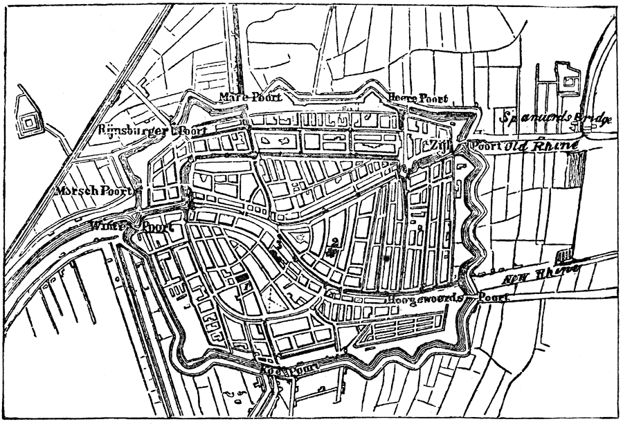
Description: Map of Leyden with streets and structures. 1. St. Perer's Church. 2. St. Pancras Church. 3. Town Hall.
Place Names: Netherlands, Leyden,
ISO Topic Categories: location,
transportation,
structure
Keywords: Plan of Leyden, physical, �transportation, physical features, location,
transportation,
structure, Unknown, 1600s
Source: Justin Winsor, Narrative and Critical History of America Vol. III (Boston, Massachusetts: Houghton, Mifflin and Company, 1884) 263
Map Credit: Courtesy the private collection of Roy Winkelman |
|