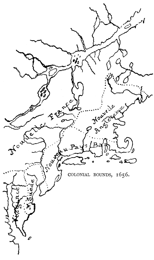
Description: By its dotted lines shows the limits conceded by the French to the different colonies of the northern seaboard of the present United States, a few years before the establishment of New Caesaria. — Narrative and Critical History of America Vol. III, 1884
Place Names: A Regional Map of North America, Canada, �United States, �Nouvelle France,
ISO Topic Categories: boundaries,
inlandWaters,
location
Keywords: Colonial Bounds, physical, physical features, boundaries,
inlandWaters,
location, Unknown, 1656
Source: Justin Winsor, Narrative and Critical History of America Vol. III (Boston, MA: Houghton, Mifflin and Company, 1884) 456
Map Credit: Courtesy the private collection of Roy Winkelman |
|