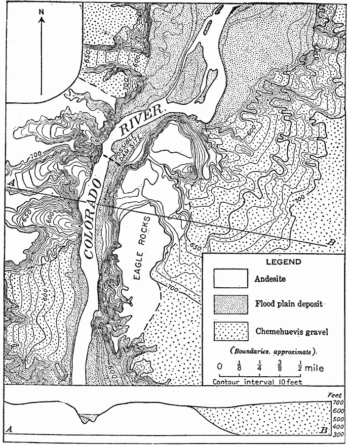
Description: A map from 1911 of a part of the Colorado Valley in western Arizona near Pyramid Canyon and Eagle Rocks, showing an old gravel-filled channel on the right and a rock channel on the left. The map is keyed to show the Andesite rock formation, flood plain deposits, and the Chemehuevis gravel deposits.
Place Names: Arizona,
ISO Topic Categories: geoscientificInformation
Keywords: Colorado Valley in Western Arizona, physical, kGeology, physical features, geoscientificInformation, Unknown, 1911
Source: Isaiah Bowman, Ph. D., Forest Physiography (New York, NY: John Wiley and Sons, 1911) 239
Map Credit: Courtesy the private collection of Roy Winkelman |
|