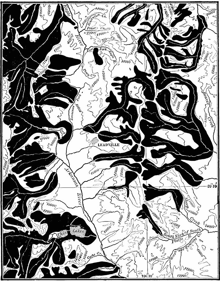
Description: A map from the USGS Leadville quadrangle (1911) of the central Rock Mountains of Colorado showing evidence of the extent of the former glacier systems in parts of the Park (east) and the Sawatch (west) ranges of Colorado.
Place Names: Colorado, Leadvill
ISO Topic Categories: geoscientificInformation,
location,
inlandWaters
Keywords: Glacier Systems in Leadville, physical, physical features, geoscientificInformation,
location,
inlandWaters, Unknown, 1911
Source: Isaiah Bowman, Ph. D, Forest Physiography (New York, NY: John Wiley and Sons, 1911) 371
Map Credit: Courtesy the private collection of Roy Winkelman |
|