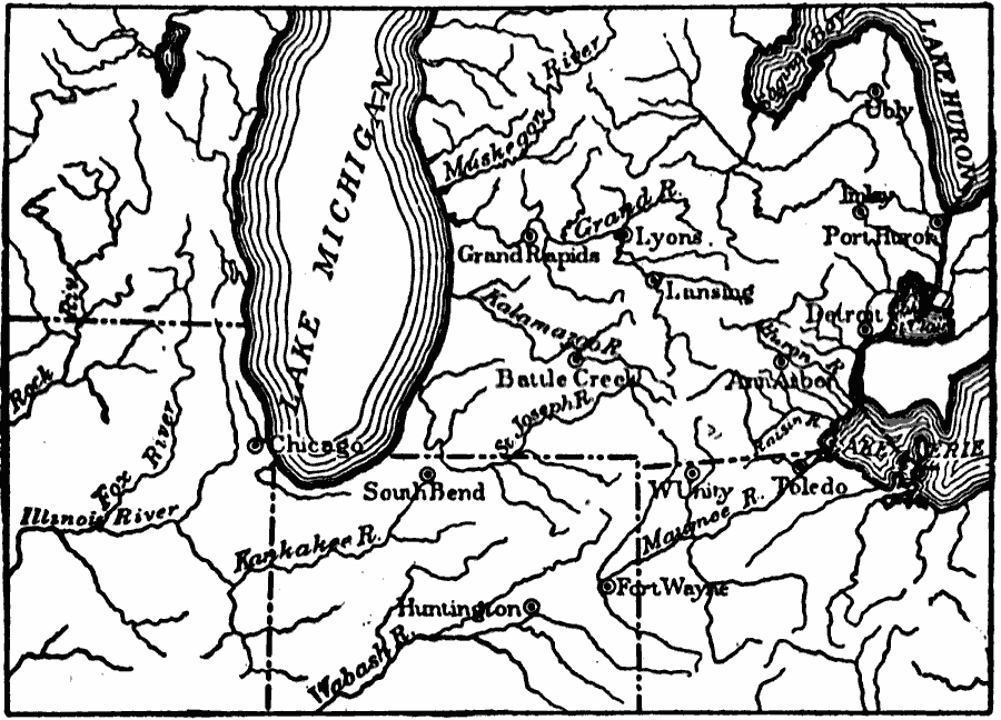
Description: A map from 1911 showing the early drainage history of the southern Great Lake district during the last glacial period. The map indicates the present lake shorelines and drainage.
Place Names: Midwest States,
ISO Topic Categories: boundaries,
geoscientificInformation,
inlandWaters,
location
Keywords: Drainage History of the Southern Great Lake District, physical, physical features, boundaries,
geoscientificInformation,
inlandWaters,
location, Unknown, Ice Age
Source: Isaiah Bowman, Ph. D, Forest Physiography (New York, NY: John Wiley and Sons, 1911) 480
Map Credit: Courtesy the private collection of Roy Winkelman |
|