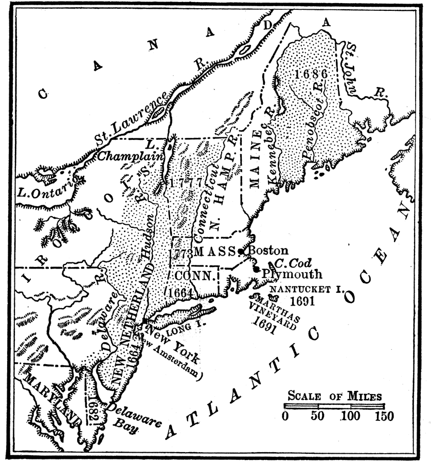
Description: Areas of the northeastern United States, granted by English King Charles II to his brother, the Duke of York, after seizing them from the Dutch. These lands were thus renamed New York.
Place Names: A Regional Map of North America, Boston, �Canada, �Connecticut, �Maine, �Massachusetts, �New Hampshire, �New York, �Plymouth, �United States,
ISO Topic Categories: location,
inlandWaters,
oceans,
boundaries
Keywords: Lands of the Duke of York, historical, �location, �physical, �political, physical features, major political subdivisions, historical event, location,
inlandWaters,
oceans,
boundaries, Unknown, 1664
Source: Nathaniel Wright Stephenson, An American History (Boston, MA: Ginn and Company, 1913) 85
Map Credit: Courtesy the private collection of Roy Winkelman |
|