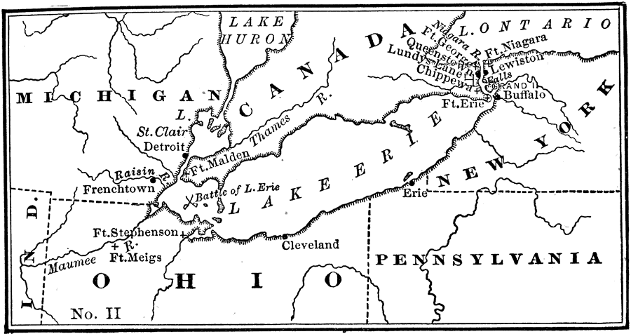
Description: Location of the War of 1812 on the Canadian border.
Place Names: A Regional Map of North America, Canada, �Indiana, �Lake Erie, �Michigan, �New York, �Ohio, �Pennsylvania, �United States,
ISO Topic Categories: location,
inlandWaters,
oceans,
boundaries
Keywords: The War of 1812 on the Canadian Border, historical, �location, �physical, �political, physical features, country borders, historical event,
other military, location,
inlandWaters,
oceans,
boundaries, Unknown, 1812
Source: Nathaniel Wright Stephenson, An American History (Boston, MA: Ginn and Company, 1913) 281
Map Credit: Courtesy the private collection of Roy Winkelman |
|