Digital Math: Developing Standards for ContentGoogle EarthThe following screenshot is the the view of the Earth when Google Earth launches. Google Earth is a free application that "combines the power of Google Search with satellite imagery, maps, terrain and 3D buildings to put the world's geographic information at your fingertips." It is a powerful geography teaching tool in and of itself, but becomes even more valuable when additional content is overlaid the globe. 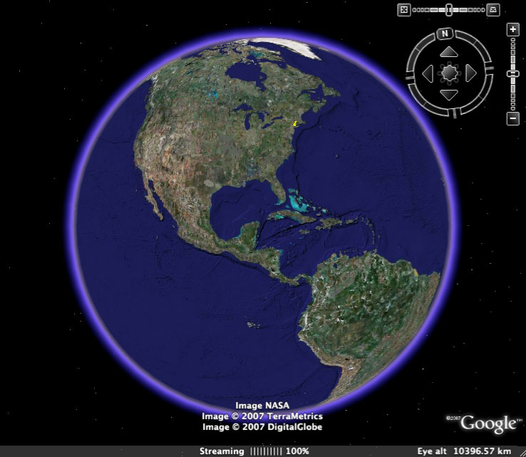 In the screenshot below, a student has placed an Exploring Florida map on the globe using the KMZ files that we created for each of the Florida maps. The map is automatically stretched to exactly overylay Florida. 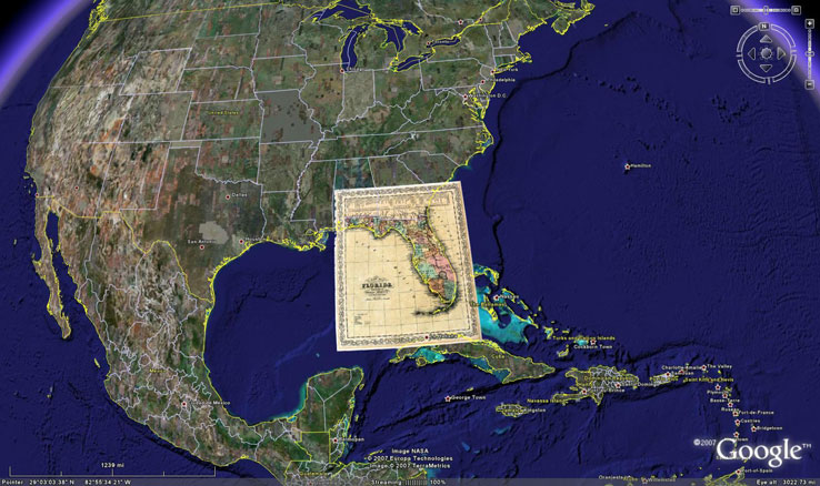 In the following view, the student has zoomed in to the area of the map. 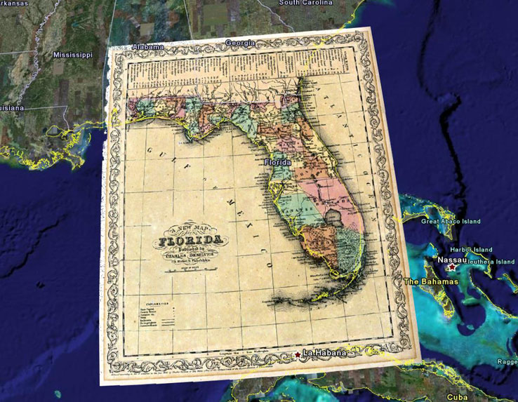 At this point the student can make the historic map semi-transparent and turn on modern information layers such as cities, geographic features, or even the interstate highway system. The resulting merger of historic and contemporary information layers has limitless instructional possibilities in the classroom. 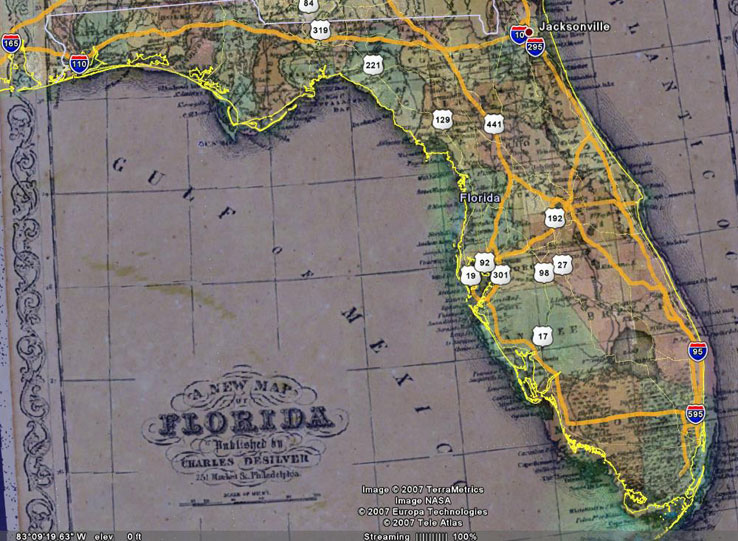 |