Fort Montgomery
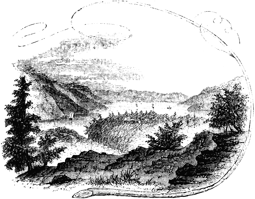
“View near Fort Montgomery. This view is from an eminence near the mountain road, about three quarters of a mile in the rear of Fort Montgomery. In the distance, the cultivated slopes of West Chester, between Peekskill and Verplanck’s Point, are seen. On the left is the high, rocky promontory called Anthony’s Nose; on the right is the Dunderberg, with a portion of Beveridge’s Island; the buildings in the center of the picture, owned by Mrs. Pelham, denote the site of Fort Clinton; toward the right is seen the deep ravine through which flows Poplopen’s Creek, and on the extreme right, partly hidden by the tree in the foreground, and fronting the river, is the site of Fort Montgomery. The scenery from this point of view is indeed magnificent."—Lossing, 1851
Galleries
1763-1788 American Revolution PlacesSource
Benson J. Lossing, The Pictorial Field-Book of the Revolution (New York: Harper & Brothers, 1851)II:163
Downloads
2400×1874, 1.7 MiB
1024×799, 227.3 KiB
640×499, 110.7 KiB
320×249, 32.0 KiB