Precise Level
| View Cart ⇗ | Info
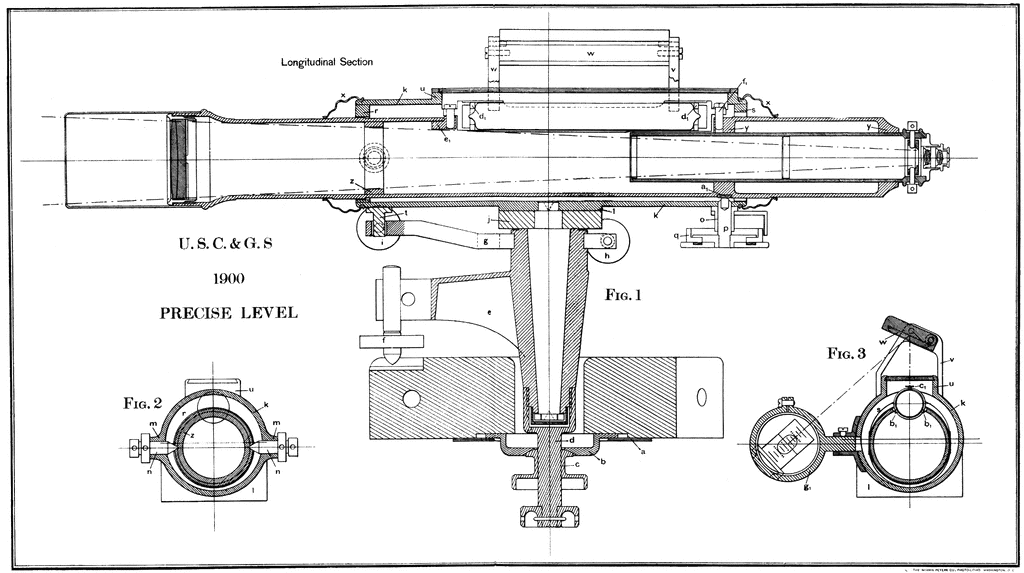
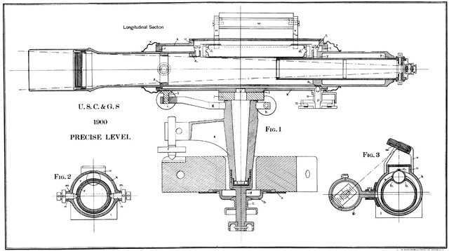
The longitudinal section of the precise level of 1900, used for surveying.
Galleries
Surveying ToolsSource
Coast and Geodetic Survey: July 1, 1899, to June 30, 1900 (Washington, DC: United States Government Printing Office, 1901)
Downloads
2400×1344, 626.2 KiB
1024×573, 97.9 KiB
640×358, 43.9 KiB
320×179, 13.4 KiB