|
|
|
| Maps > Africa > Egypt |
A collection of historic and contemporary maps of Egypt, including ancient empires and significant Egyptian sites.
|
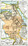
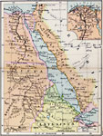
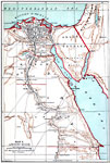
Colonial Egypt,
1912 |
|
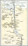
Suez Canal,
1912 |
|
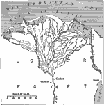
Delta of the Nile,
1916 |
|
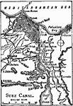
Suez Canal,
1919 |
|
Egypt and the Nile Valley,
1920 |
|
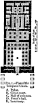
Plan of the Temple of Chons,
2134–1999 BC |
|
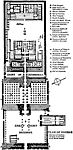
Plan of Karnak,
2134–1999 BC |
|
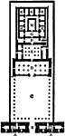
Plan of the Temple of Edfu,
2134–1999 BC |
|
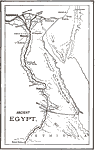
Ancient Egypt,
3150 to 31 BCE |
|
Ancient Egypt,
3150 to 31 BCE |
| First | Previous | Next | Last |
| Maps > Africa > Egypt |
Maps ETC is a part of the Educational Technology Clearinghouse
Produced by the Florida Center for Instructional Technology © 2009
College of Education, University of South Florida