|
|
|
| Maps > United States > Regional Maps >Western States |
|
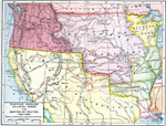
The West,
1820–1835 |
|
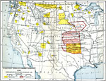
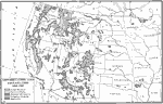
Western Reservations,
1840–1880 |
|
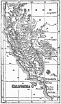
Terrain of the West Coast of the United States,
1849 |
|
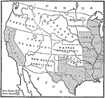
Our Western Territories,
1854 |

|
Western Half of the Union,
1872 |

|
Relief of States West of the Mississippi River,
1872 |
|
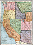
Pacific States and Territories,
1883 |
|
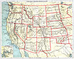
Western States and Territories,
1888 |
|
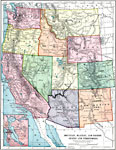
Mountain, Plateau, and Pacific States and Territories,
1899 |
|
Conservation and Reclamation,
1900–1917 |
| Next | Last |
| Maps > United States > Regional Maps >Western States |
Maps
is a part of the
Educational Technology Clearinghouse
Produced by the
Florida Center for Instructional Technology
© 2009
College of Education
,
University of South Florida