|
|
|
| Maps > Australia > Complete Maps |
Historic and contemporary maps of Australia, including physical and political maps, climate maps, relief maps, and economic/resource maps.
|
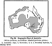
Orographic Chart of Australia,
1891 |
|
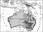
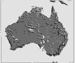
Relief Map of Australia and Australasian Islands,
1897 |
|
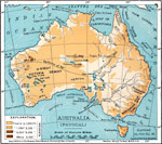
Physical Features of Australia,
1901 |
|
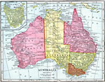
Australia,
1904 |
|
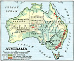
Australia,
1906 |
|
Relief Map of Australia,
1906 |
|
Land Elevations of Australia,
1906 |
|
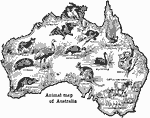
Animals of Australia,
1906 |
|
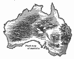
Plants of Australia,
1906 |
|
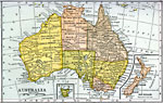
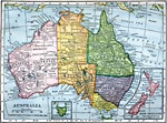
Australia and New Zealand,
1909 |
| First | Previous | Next | Last |
| Maps > Australia > Complete Maps |
Maps ETC is a part of the Educational Technology Clearinghouse
Produced by the Florida Center for Instructional Technology © 2009
College of Education, University of South Florida