|
|
|
| Maps > Australia > Complete Maps |
Historic and contemporary maps of Australia, including physical and political maps, climate maps, relief maps, and economic/resource maps.
|
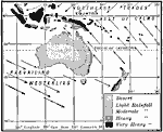
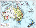
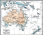
Rainfall and Wind in Oceania,
1910 |
|
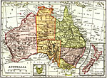
Australia,
1912 |
|
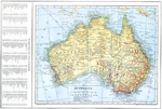
Australia,
1914 |
|
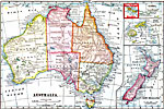
Australia,
1914–1919 |
|
Economic Map of Australia,
1915 |
|
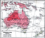
Temperature in Australia - January,
1915 |
|
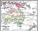
Temperature in Australia - July,
1915 |
|
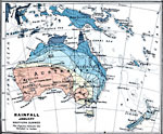
Rainfall in Australia in January,
1915 |
|
Rainfall in Australia in July,
1915 |
|
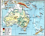
Australia – Orographical,
1915 |
| First | Previous | Next | Last |
| Maps > Australia > Complete Maps |
Maps ETC is a part of the Educational Technology Clearinghouse
Produced by the Florida Center for Instructional Technology © 2009
College of Education, University of South Florida