|
|
|
| Maps > Africa > Egypt |
A collection of historic and contemporary maps of Egypt, including ancient empires and significant Egyptian sites.
|
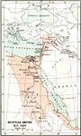
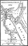
Egyptian Empire,
1450 BC |
|
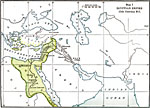
Egyptian Empire,
15th Century BCE |
|
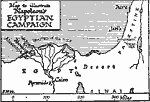
Napoleon's Egyptian Campaign,
1798–1801 |

|
Bonaparte's Expedition against Egypt and Syria,
1798–1801 |

|
Map of Egypt,
1858 |
|
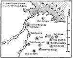
Tanis,
1886 |
|
Egypt,
1908 |
|
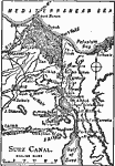
Suez Canal,
1909 |
|
The Nile Basin,
1911 |

|
Egypt and Syria,
1912 |
| Next | Last |
| Maps > Africa > Egypt |
Maps ETC is a part of the Educational Technology Clearinghouse
Produced by the Florida Center for Instructional Technology © 2009
College of Education, University of South Florida