|
|
|
| Maps > Asia > China |
Historic and contemporary maps of China including political, physical, cultural, relief, empirical and colonial maps.
|
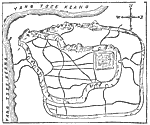
Plan of Nanking,
1903 |
|
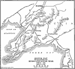
Theater of the Russo-Japanese War,
1904–1905 |
|
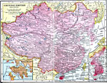
Chinese Empire,
1906 |
|
China,
1912 |
|
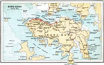
Hong-Kong Island,
1912 |
|
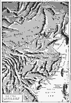
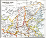
Northern China,
1912 |
|
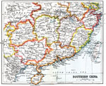
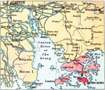
Southern China,
1912 |
|
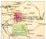
Peking,
1912 |
|
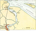
Shanghai and Environs,
1912 |
|
Hong Kong,
1912 |
| Next | Last |
| Maps > Asia > China |
Maps ETC is a part of the Educational Technology Clearinghouse
Produced by the Florida Center for Instructional Technology © 2009
College of Education, University of South Florida