|
|
|
| Maps > Asia > Regional Maps >Miscellaneous Regional Maps of Asia |
Regional Asian maps of the Miscellaneous Regional Maps of Asia region from the Maps ETC collection. This includes physical and political maps, early history and empires, climate maps, relief maps, population density and distribution maps, cultural maps, and economic/resource maps.
|
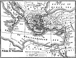
Paul's Travels,
10 BC–AD 67 |
|
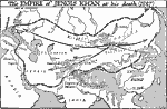
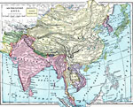
Empire of Genghis Khan at the Time of his Death,
1227 |
|
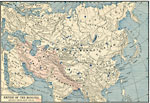
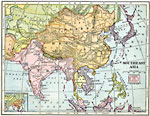
Empire of the Mongols,
13th and 14th centuries |
|
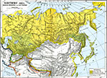
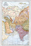
Russian Expansion in the 19th Century,
1800s |
|
Southeastern Asia,
1899 |
|
Southeast Asia,
1906 |
|
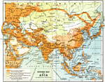
Economic Activity in Asia,
1912 |
|
Trade Routes of Asia,
1912 |
|
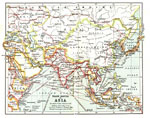
Western Asia,
1914 |
|
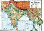
South Asia,
1916 |
| Next | Last |
| Maps > Asia > Regional Maps >Miscellaneous Regional Maps of Asia |
Maps
is a part of the
Educational Technology Clearinghouse
Produced by the
Florida Center for Instructional Technology
© 2009
College of Education
,
University of South Florida