Maps Site map
  Maps > Europe > Complete Maps
Site Map  

  Record   81   to   90  of   121

Historic and contemporary maps of Europe, including physical and political maps, early history and empires, WWI maps, climate maps, relief maps, vegetation maps, population density and distribution maps, cultural maps, and economic/resource maps.
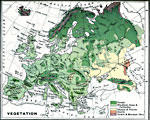
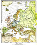
Vegetation Map of Europe, 1915
A map from 1915 of Europe showing the general vegetation regions. The map is color–coded to show areas of forests, grasslands, steppes, poor steppes, deserts, tundra, and mountain flora....

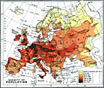
Population Density Map of Europe, 1915
A map from 1916 of Europe showing the population density of the region at the time. This map is keyed to show areas of population densities ranging from under 2 inhabitants per square mile to areas of over 512 inhabitants per square mile....

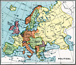
Political Map of Europe, 1915
A map from 1915 of Europe showing the political boundaries throughout the region at the time....

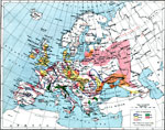
Economic Map of Europe, 1915
A map from 1915 of Europe showing the principal agricultural and mining districts in the region. The map shows principal cities, railroads, and rivers, and is keyed to show areas of wheat, barley, wine, silk and flax production. The districts of othe...

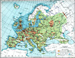
Industrial Map of Europe, 1915
A map from 1915 of Europe showing the principal industrial districts in the region. The map shows principal cities, railroads, and navigable rivers, and is keyed to show the chief industrial districts, agricultural and stock–rearing districts, ...

Fisheries of Europe, 1915
A map from 1915 showing the principal fishing grounds of Europe. The map shows the chief types of fish produced in the areas. The map shows principal cities and ports, railroads, rivers, and coastal features....

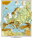
Europe (Physical), 1915
Physical map of Europe showing major landforms and waterways, including the Alps, the Apennines, the Urals, the Russian Heartland, the Pyrenees, the North Sea, Mediterranean, Black Sea, and the Volga, Danube, Rhine, and Seine Rivers....

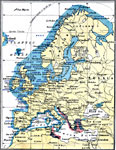
Europe (Political), 1915
Political map of Europe showing circa 1915 political boundaries, major cities (including cities with a population over one million), major rail lines, and rivers. Map shows the extent of the pre–WWI German Empire and the Austro–Hungarian ...

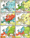
Physical and Cultural Geography of Europe, 1915
Six maps of Europe showing the average rainfall, the major climate zones, agricultural products (rye, corn, wheat, rice, and sugar beets), industrial products (iron, textile, and coal), ethnic groups, and religions. ...

Physical Map of Europe, 1916
A physical map of Europe from 1916 showing color–coded elevations and water depths for the area extending from Iceland to the natural boundary between Europe and Asia (Ural Mountains to the Caspian Sea), and the Arctic Circle to the Mediterrane...

First Previous Next Last


  Maps > Europe > Complete Maps
Site Map  

Maps ETC is a part of the Educational Technology Clearinghouse
Produced by the Florida Center for Instructional Technology © 2009
College of Education, University of South Florida