|
|
|
| Maps > Europe > Complete Maps |
Historic and contemporary maps of Europe, including physical and political maps, early history and empires, WWI maps, climate maps, relief maps, vegetation maps, population density and distribution maps, cultural maps, and economic/resource maps.
|
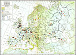
Economic Map of Europe,
1916 |
|
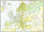
Vegetation Map of Europe,
1916 |
|
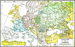
Racial Map of Europe,
1916 |
|
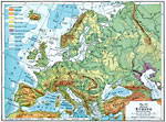
Physical Europe,
1916 |
|
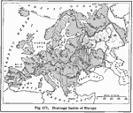
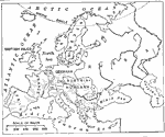
Drainage Basins of Europe,
1916 |
|
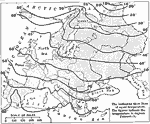
Isothermal Map of Europe,
1916 |
|
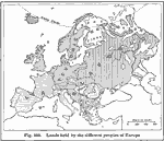
Ethnic Groups of Europe,
1916 |
|
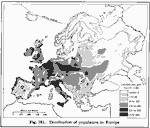
European Population Density,
1916 |
|
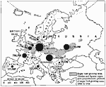
Production of Sugar Beets in Europe,
1916 |
|
Grape and Wine Production,
1916 |
| First | Previous | Next | Last |
| Maps > Europe > Complete Maps |
Maps ETC is a part of the Educational Technology Clearinghouse
Produced by the Florida Center for Instructional Technology © 2009
College of Education, University of South Florida