|
|
|
| Maps > Europe > France |
Historic and contemporary maps of France, including political and physical maps, early empires, WWI, city plans, and battle plans.
|
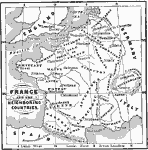
France and Neighboring Countries,
1066–1154 |

|
France and England during the Norman to Tudor Period,
1194–1337 |

|
France at the Treaty of Bretigni,
1360 |
|
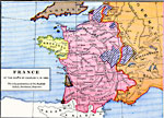
France at the Death of Charles V,
1380 |

|
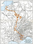
Joan of Arc's Country,
1412–1431 |
|
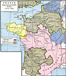
France during the Second English Invasion,
1415–1453 |
|
France at the accession of Louis XI,
1461 |

|
France at the Accession of Louis XI,
1461 |
|
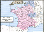
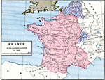
France at the death of Louis XI,
1483 |
|
Eastern Frontier of France,
1559 |
| Next | Last |
| Maps > Europe > France |
Maps ETC is a part of the Educational Technology Clearinghouse
Produced by the Florida Center for Instructional Technology © 2009
College of Education, University of South Florida