|
|
|
| Maps > Europe > Regional Maps >Western and Central Europe |
Regional European maps of the Western and Central Europe region from the Maps ETC collection. This includes physical and political maps, early history and empires, WWI maps, climate maps, relief maps, vegetation maps, population density and distribution maps, cultural maps, and economic/resource maps.
|
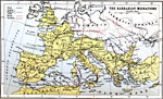
The Barbarian Migrations,
AD 300–500 |
|
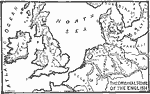
Original Home of the English,
AD 400 |
|
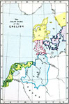
The First Home of the English,
AD 400–600 |
|
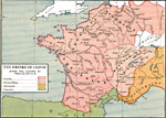
The Empire of Clovis after the victory at Vouille,
AD 507 |
|
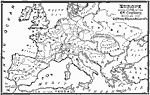
Europe,
AD 600 |
|
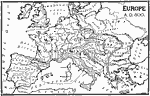
Europe,
AD 800 |
|
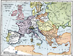
Central and Western Europe,
April 1, 1812 |
|
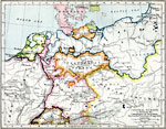
Central Europe and the Campaigns of Napoleon,
August 6, 1806 |
|
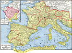
The Western Basin of the Mediterranean,
Circa AD 100 |
|
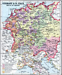
Germany and Northern Italy,
Late 15th Century |
| First | Previous | Next | Last |
| Maps > Europe > Regional Maps >Western and Central Europe |
Maps
is a part of the
Educational Technology Clearinghouse
Produced by the
Florida Center for Instructional Technology
© 2009
College of Education
,
University of South Florida