|
|
|
| Maps > Europe > Regional Maps >Western and Central Europe |
Regional European maps of the Western and Central Europe region from the Maps ETC collection. This includes physical and political maps, early history and empires, WWI maps, climate maps, relief maps, vegetation maps, population density and distribution maps, cultural maps, and economic/resource maps.
|
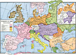
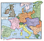
Europe at the Peace of Prague ,
1866 |
|
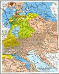
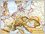
Central Europe and the War of 1866,
1866 |
|
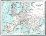
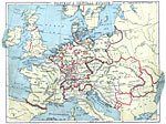
Western and Central Europe,
1870 |
|
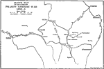
Map of the Franco-German War,
1870–1871 |
|
Europe at the end of the Franco-Prussian War,
1871 |

|
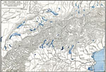
Sketch Map of the Mountain Region of Europe,
1873 |
|
Central Europe,
1882 |
|
The Western Alps with the Northwestern and Southeastern slopes,
1886 |
|
Western and Central Europe,
1888 |
|
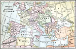
Central and Southern Europe,
1889 |
| First | Previous | Next | Last |
| Maps > Europe > Regional Maps >Western and Central Europe |
Maps
is a part of the
Educational Technology Clearinghouse
Produced by the
Florida Center for Instructional Technology
© 2009
College of Education
,
University of South Florida