|
|
|
| Maps > Europe > Regional Maps >Western and Central Europe |
Regional European maps of the Western and Central Europe region from the Maps ETC collection. This includes physical and political maps, early history and empires, WWI maps, climate maps, relief maps, vegetation maps, population density and distribution maps, cultural maps, and economic/resource maps.
|
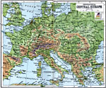
Orographical Central Europe,
1910 |
|
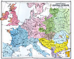
Ethnographical Central Europe,
1910 |
|
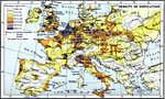
Density of Population,
1910 |
|
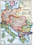
Central Europe,
1910 |
|
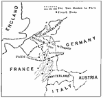
Proposed Routes of the German Army on Paris,
1914 |
|
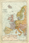
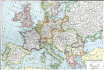
Western Europe,
1914 |
|
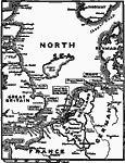
Forts and Flying Bases on the North Sea,
1914–1918 |
|
The Western Front in France and Belgium,
1914–1918 |
|
Central and Western Europe,
1914–1918 |
|
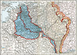
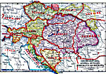
Czecho-slovakia, Austria, Hungary, Jugo-slavia, and Roumania,
1914–1919 |
| First | Previous | Next | Last |
| Maps > Europe > Regional Maps >Western and Central Europe |
Maps
is a part of the
Educational Technology Clearinghouse
Produced by the
Florida Center for Instructional Technology
© 2009
College of Education
,
University of South Florida