|
|
|
| Maps > Globes and Multi-continent > Complete Maps |
A collection of world and multi-continent maps, including various projections, hemispheric maps, physical and political maps, early known world maps, climate maps, relief maps, ocean current maps, population density and distribution maps, vegetation maps, and economic/resource maps.
|
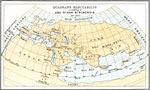
Quadrans Habitabilis according to Abu Rihan Birunensis,
1030 |
|
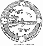
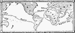
Early Map of the World,
1400–1499 |
|
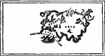
The Known World,
1400–1499 |
|
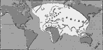
The World as known to Europe ,
1418 |
|
The World as known in the time of Columbus,
1450–1492 |
|
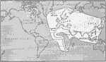
Known World at the Time of Columbus,
1492 |
|
Columbus, Magellan, and De Gama,
1492–1522 |
|
Chief Voyages of Exploration,
1492–1522 |
|
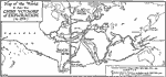
Great Voyages,
1492–1580 |
|
World Discoveries ,
1500–1700 |
| Next | Last |
| Maps > Globes and Multi-continent > Complete Maps |
Maps ETC is a part of the Educational Technology Clearinghouse
Produced by the Florida Center for Instructional Technology © 2009
College of Education, University of South Florida