|
|
|
| Maps > Globes and Multi-continent > Complete Maps |
A collection of world and multi-continent maps, including various projections, hemispheric maps, physical and political maps, early known world maps, climate maps, relief maps, ocean current maps, population density and distribution maps, vegetation maps, and economic/resource maps.

|
Copper Mining,
1916 |
|
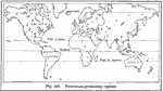
Petroleum Production,
1916 |
|
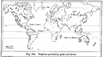
Gold and Silver Production,
1916 |
|
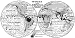
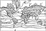
Winds and Rainfall- Northern Summer,
1917 |
|
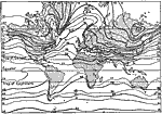
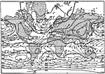
World Isothermal Lines- January,
1917 |
|
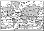
World Isothermal Lines- July,
1917 |
|
World Isobaric Lines- January,
1917 |
|
World Isobaric Lines- July,
1917 |

|
Map of The World on Mercator's Projection,
1918 |
|
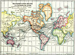
Transportation Routes and Telegraph Lines,
1918 |
| First | Previous | Next | Last |
| Maps > Globes and Multi-continent > Complete Maps |
Maps ETC is a part of the Educational Technology Clearinghouse
Produced by the Florida Center for Instructional Technology © 2009
College of Education, University of South Florida