|
|
|
| Maps > Globes and Multi-continent > Complete Maps |
A collection of world and multi-continent maps, including various projections, hemispheric maps, physical and political maps, early known world maps, climate maps, relief maps, ocean current maps, population density and distribution maps, vegetation maps, and economic/resource maps.
|
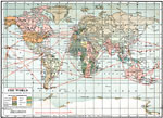
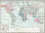
Ocean Route Map of the World with Colonial Possessions,
1920 |
|
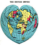
British Empire,
1920 |
|
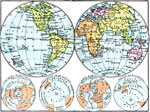
The World in Hemispheres,
1920 |
|
British Empire and Commercial Highways,
1920 |
|
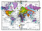
World Travel Chart,
1920 |
|
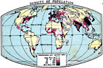
Density of Population,
1920 |
|
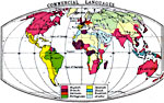
Commercial Languages of the World,
1920 |
|
January Temperature Regions of the World,
1920 |
|
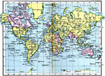
World Map,
1920 |
|
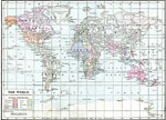
The World ,
1920 |
| First | Previous | Next | Last |
| Maps > Globes and Multi-continent > Complete Maps |
Maps ETC is a part of the Educational Technology Clearinghouse
Produced by the Florida Center for Instructional Technology © 2009
College of Education, University of South Florida