|
|
|
| Maps > Globes & Multi-Continent > Regional Maps >Regional Eurasia |
Regional Globes & Multi-Continental maps of the Regional Eurasia region from the Maps ETC collection. This may include physical and political maps, early history and empires, climate maps, relief maps, vegetation maps, population density and distribution maps, cultural maps, and economic/resource maps.
|
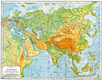
Physical Map of Eurasia,
1901 |
|
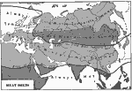
Eurasian Heat Belts,
1901 |
|
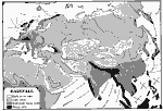
Eurasian Rainfall Distribution,
1901 |
|
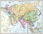
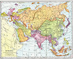
Eurasia,
1901 |
|
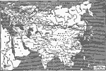
Eurasia,
1902 |
|
Russia's Great Railway Links,
1919 |
|
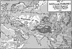
Conditions of Life during the Historic Period in Asia,
800 B.C. |
| First | Previous |
| Maps > Globes & Multi-Continent > Regional Maps >Regional Eurasia |
Maps
is a part of the
Educational Technology Clearinghouse
Produced by the
Florida Center for Instructional Technology
© 2009
College of Education
,
University of South Florida