|
|
|
| Maps > United States > Civil War |
A collection of historic maps of the American Civil War, including regional seats of the war, battle and campaign maps, and territories held by Confederate and Union forces.
|
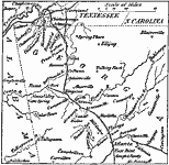
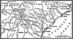
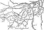
Chattanooga to Atlanta,
1864 |
|
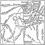
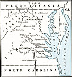
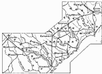
Siege of Petersburg,
1864 |
|
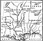
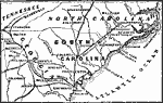
Territory held by the Confederates,
1864 |
|
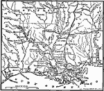
War in the Southwest - Red River Expedition,
1864 |
|
Sherman's March,
1864 |
|
Red River Expedition,
1864 |
|
Sherman's March to the Sea,
1864 |
|
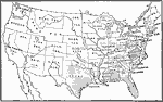
State Secessions,
1864 |
|
Operations around Petersburg,
1864–1865 |
|
Campaign in the East,
1864–1865 |
| First | Previous | Next | Last |
| Maps > United States > Civil War |
Maps ETC is a part of the Educational Technology Clearinghouse
Produced by the Florida Center for Instructional Technology © 2009
College of Education, University of South Florida