|
|
|
| Maps > United States > Civil War |
A collection of historic maps of the American Civil War, including regional seats of the war, battle and campaign maps, and territories held by Confederate and Union forces.
|
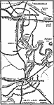
Petersburg and Richmond,
1864–1865 |
|
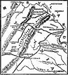
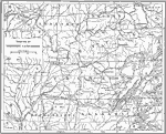
Shenandoah Valley,
1864–1865 |
|
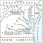
State Secessions,
1865 |
|
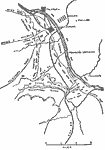
The Battle of Shiloh,
April 1862 |
|
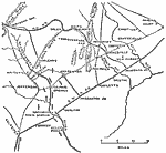
Pope's Campaign,
August 24, 1862 |
|
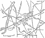
Pope's Campaign,
August 28, 1862 |
|
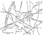
Pope's Campaign,
August 29, 1862 |
|
The Theatre of Western Campaigns,
Civil War |
|
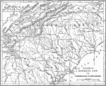
The Theatre of Georgia and Carolinas Campaigns,
Civil War |
|
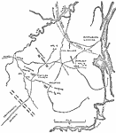
Fredericksburg,
December 13, 1862 |
| First | Previous | Next | Last |
| Maps > United States > Civil War |
Maps ETC is a part of the Educational Technology Clearinghouse
Produced by the Florida Center for Instructional Technology © 2009
College of Education, University of South Florida