|
|
|
| Maps > United States > Massachusetts |
A collection of historic and contemporary political and physical maps of Massachusetts, including early exploration and settlement maps, Revolutionary War maps, and automobile route maps.
|
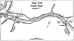
Cape Cod Canal Zone,
1919 |
|
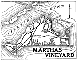
Martha's Vineyard,
1919 |
|
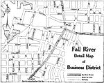
Fall River Business District,
1919 |
|
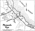
Plymouth,
1919 |
|
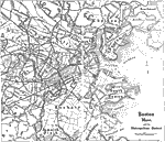
Boston,
1919 |
|
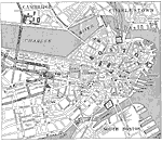
Boston, Charlestown, and Cambridge,
1919 |
|
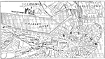
Boston,
1919 |
|
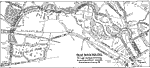
Boston Parkway Map,
1919 |
|
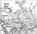
Lynn,
1919 |
|
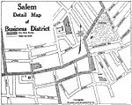
Salem Business District,
1919 |
| First | Previous | Next | Last |
| Maps > United States > Massachusetts |
Maps ETC is a part of the Educational Technology Clearinghouse
Produced by the Florida Center for Instructional Technology © 2009
College of Education, University of South Florida