|
|
|
| Maps > United States > Massachusetts |
A collection of historic and contemporary political and physical maps of Massachusetts, including early exploration and settlement maps, Revolutionary War maps, and automobile route maps.
|
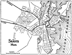
Salem, Massachusetts,
1919 |
|
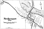
Newburyport,
1919 |
|
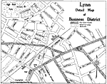
Lynn Business District,
1919 |
|
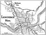
Lawrence,
1919 |
|
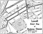
Lowell Business District,
1919 |
|
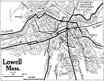
Lowell,
1919 |
|
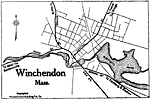
Winchendon,
1919 |
|
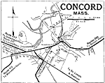
Concord,
1919 |
|
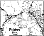
Fitchburg,
1919 |
|
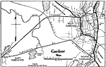
Gardner,
1919 |
| First | Previous | Next | Last |
| Maps > United States > Massachusetts |
Maps ETC is a part of the Educational Technology Clearinghouse
Produced by the Florida Center for Instructional Technology © 2009
College of Education, University of South Florida