Maps Site map
  Maps > United States > Meteorology
Site Map  

  Record   11   to   20  of   90

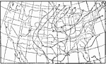
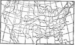
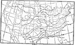
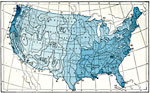
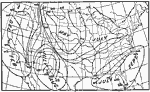
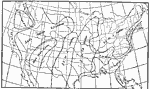
A collection of meteorological maps of the United States, including mean annual temperature maps, precipitation records and distribution, and typical storm event patterns.

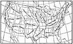
United States Climactic Subdivisions, 1896
A map from 1896 showing the climatic subdivisions of the United States. "The systematic division of the United States into climatic subdivisions was adopted by the United States Weather Bureau, and is based on the variations of climate with lati...

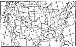
Shade Temperature Oscillation, 1896
A map from 1896 showing the mean absolute amplitude of the oscillation of shade temperature in the United States. "Temperature observations of the air should be made in the shade, and at about six to ten feet above grass–covered earth.&quo...

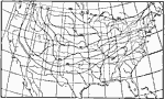
Days Below Freezing, 1896
A map from 1896 of the United States showing the mean annual number of days with average temperature below freezing....

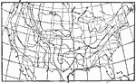
Temperature Variability, 1896
A map from 1896 of the United States showing the average temperature variability for the maximum month of January. Variability is given in degrees Fahrenheit....

Drastic Temperature Drops, 1896
A map from 1896 of the United States showing the relative frequency of drastic falls of temperature (over 20 degrees) in 24 hours....

Earliest Hard Frost, 1896
A map from 1896 of the United States showing the average date of earliest hard frost in the fall....

Latest Hard Frost in Spring, 1896
A map from 1896 of the United States showing the average date of latest hard frost in the spring....

Mean Annual Rainfall, 1896
A map from 1896 of the United States showing mean annual rainfall distribution given in inches....

Rainfall in Rainy Season, 1896
A map from 1896 of the United States showing the percentage of total rainfall in the rainy season, and the months of rainy season in each region....

Heaviest Rainfalls, 1896
A map from 1896 of the United States showing the areas of heaviest daily rainfalls given in inches....

First Previous Next Last


  Maps > United States > Meteorology
Site Map  

Maps ETC is a part of the Educational Technology Clearinghouse
Produced by the Florida Center for Instructional Technology © 2009
College of Education, University of South Florida