|
|
|
| Maps > United States > Regional Maps >Atlantic States |

|
Middle Atlantic States,
1906 |
|
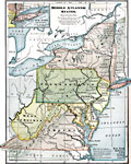
The Middle Atlantic States,
1909 |
|
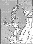
Chesapeake Bay,
1911 |
|
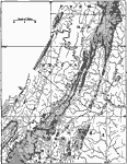
Southern Division of the Older Appalachians,
1911 |
|
Triassic Formation of the Atlantic Slope,
1911 |
|
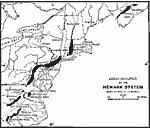
Triassic Formations in the Older Appalachians,
1911 |
| First | Previous |
| Maps > United States > Regional Maps >Atlantic States |
Maps
is a part of the
Educational Technology Clearinghouse
Produced by the
Florida Center for Instructional Technology
© 2009
College of Education
,
University of South Florida