|
|
|
| Maps > United States > Regional Maps >Middle Atlantic States |
|
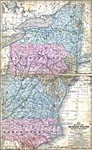
The Middle States,
1858 |
|
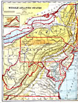
Middle Atlantic States,
1882 |
|
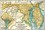
Maryland, Delaware, and Washington D.C.,
1891 |
|
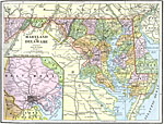
Maryland and Delaware,
1892 |
|
Northeast Region,
1901 |
|
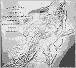
Relief Map of the Middle Atlantic States,
1910 |
|
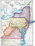
The Middle Atlantic States,
1910 |

|
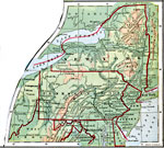
Middle Atlantic States,
1910 |

|
New York City and Environs,
1911 |

|
Maryland and Delaware,
1912 |
| Next | Last |
| Maps > United States > Regional Maps >Middle Atlantic States |
Maps
is a part of the
Educational Technology Clearinghouse
Produced by the
Florida Center for Instructional Technology
© 2009
College of Education
,
University of South Florida